Potential Tropical Cyclone Six Threatens Gulf Coast with Heavy Rain and Possible Hurricane
September 7, 2024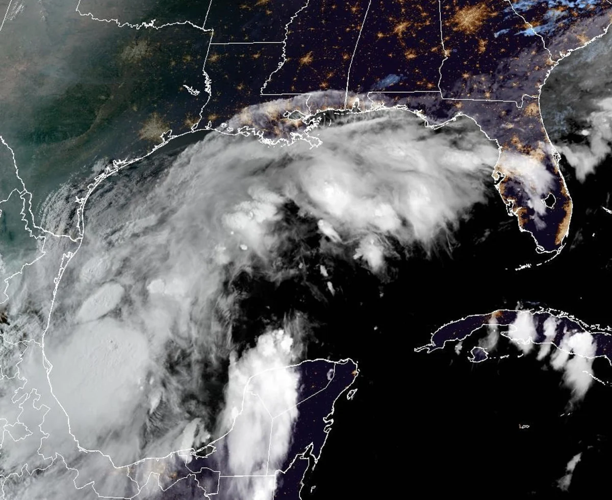
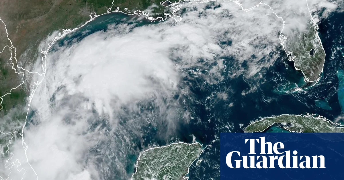
Potential Tropical Cyclone Six has formed in the Bay of Campeche, off the coast of Mexico, and is expected to develop into a hurricane that may impact the upper Texas and Louisiana coasts starting Tuesday night.
The National Hurricane Center (NHC) estimates a 50% chance of formation in the next 48 hours and a 70% chance within the next seven days.
Conditions in the Gulf of Mexico are favorable for rapid storm development, with water temperatures about 5 degrees above average.
Additionally, a third tropical wave is expected to slowly organize in the far eastern Atlantic next week.
Currently, the cyclone is located about 555 miles south of Port Arthur, Texas, with maximum sustained winds of 50 mph and moving northwest at 5 mph.
An Air Force Reserve hurricane hunter plane is scheduled to investigate the system for further data collection.
While the strength of the tropical depression remains uncertain, the warm Gulf waters could enhance storm development.
Despite the recent lull in activity, NOAA maintains a prediction for a highly active hurricane season, estimating 17 to 24 named storms.
Currently, none of these systems pose a threat to Florida.
If the system develops into a tropical storm, it will be named Francine, coinciding with the statistical peak of the hurricane season on September 10.
So far in the 2024 Atlantic storm season, which began in June and ends on November 30, there have been five named storms, three of which escalated to hurricanes.
This tropical disturbance follows an unusually quiet period in the Atlantic hurricane season, which peaks on September 10.
Summary based on 14 sources
Get a daily email with more World News stories
Sources
The Guardian • Sep 9, 2024
Weather tracker: Francine looking likely to be next Atlantic hurricane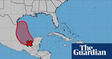
The Guardian • Sep 7, 2024
Tropical depression, a type of cyclone, may form in Gulf of Mexico next week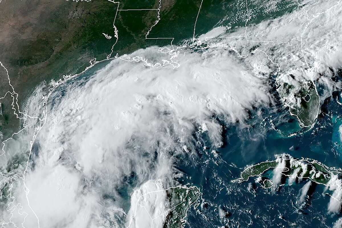
Bloomberg • Sep 9, 2024
Strengthening Gulf Storm Could Slam Texas, Louisiana Coasts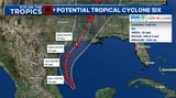
Yahoo News • Sep 8, 2024
Tropics Update: Tropical Cyclone six has been declared