Revolutionary AI Technique Enhances Remote Sensing Image Captions with Precision and Diversity
June 16, 2024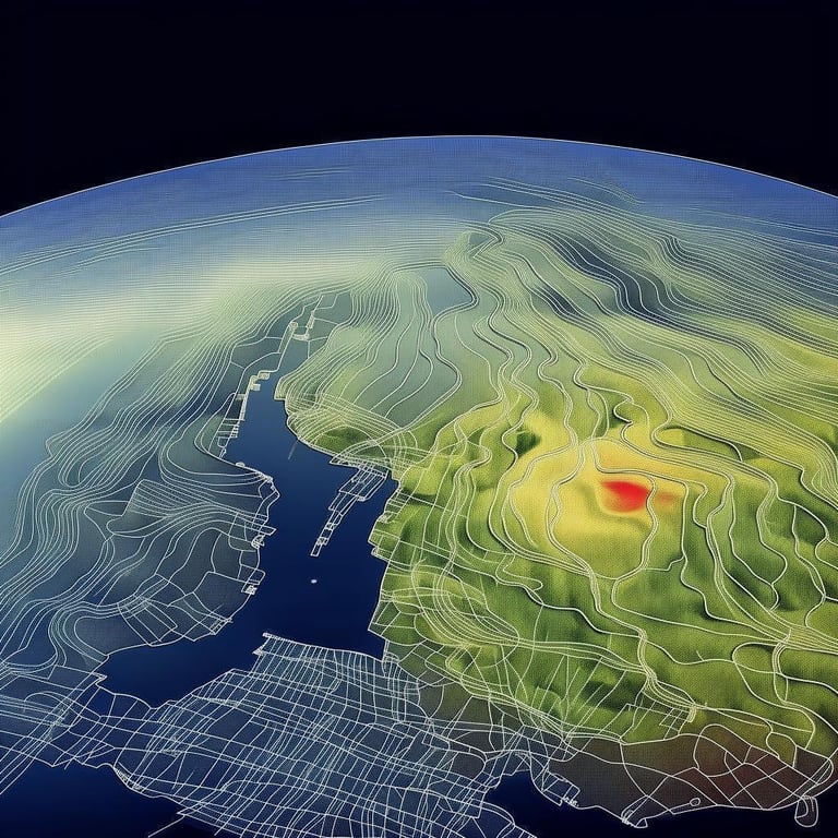
Researchers Yingxu He and Qiqi Sun introduced a groundbreaking Automatic Remote Sensing Image Captioning (ARSIC) approach.
ARSIC aims to enhance the quality of captions for remote sensing images.
The approach utilizes large language models and geographical analysis APIs to generate detailed image descriptions.
The process involves three steps: developing APIs to analyze spatial relationships, guiding a Language Model with spatial relation prompts, and evaluating/selecting the best caption.
APIs focus on analyzing distances, clustering, geometric shapes, and relations between objects.
The Language Model generates captions based on significant spatial relations highlighted by the prompts.
The best caption for each image is selected based on quality and diversity.
ARSIC not only revolutionizes image captioning for remote sensing but also holds promise for broader applications across various domains.
This showcases the potential of AI in reshaping technological interventions.
Summary based on 0 sources